Your cart is currently empty!
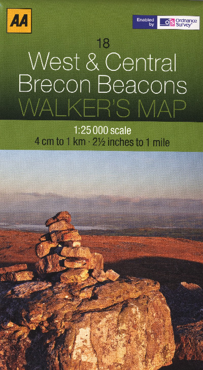
Walker’s Map West & Central Brecon Beacons
£7.99
One of a brand new range of 30 AA sheet maps utilising the 1:25,000 data supplied by the Ordnance Survey. The maps have the familiar look and style of OS mapping, with improved coverage of the featured areas. Aimed at outdoor enthusiasts in particular, the level of the details ensures nothing gets missed and you won’t get lost.
Out of stock
Description
Map dwyieithog manwl ac eglur yr Arolwg Ordnans ar gyfer cerddwyr yn ardaloedd Gorllewin a Chanol Bannau Brycheiniog, o Landeilo a Rhydaman yn y gorllewin hyd Aberhonddu a Chefn Coed y Cymer yn y dwyrain. Graddfa 1:25,000.One of a brand new range of 30 AA sheet maps utilising the 1:25,000 data supplied by the Ordnance Survey. The maps have the familiar look and style of OS mapping, with improved coverage of the featured areas. Aimed at outdoor enthusiasts in particular, the level of the details ensures nothing gets missed and you won’t get lost.
Additional information
| Language | English |
|---|