Your cart is currently empty!
Cylch Maesyfed/Radnor Ring – Map Llwybr Beicio Canolbarth Cymru/Mid Wales Cycle Route Map
£3.99
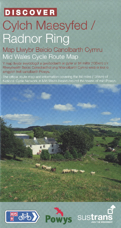
This is the Sustrans cycle route and information map in the Discover series covering the 84 miles (135km) of National Cycle Network in Mid Wales based around the towns of Powys. The Radnor Ring is a circular cycle route around Radnorshire. The route follows a mixture of country lanes, river valleys, traffic-free trails and mountain roads, offering spectacular scenic views.
Description
Map Sustrans yn dynodi taith feicio Cylch Maesyfed o amgylch trefi’r sir. Mae’r daith 84 milltir (135cilomedr) yn rhan o Lwybr Beicio Canolbarth Cymru gan ddilyn lonydd gwledig, dyffrynnoedd afonydd, a ffyrdd mynyddig, oll yn cynnig golygfeydd hardd.This is the Sustrans cycle route and information map in the Discover series covering the 84 miles (135km) of National Cycle Network in Mid Wales based around the towns of Powys. The Radnor Ring is a circular cycle route around Radnorshire. The route follows a mixture of country lanes, river valleys, traffic-free trails and mountain roads, offering spectacular scenic views.
Additional information
| Language | eng, wel |
|---|


