Your cart is currently empty!
North Wales Coast Path Map
£9.99
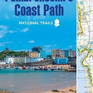
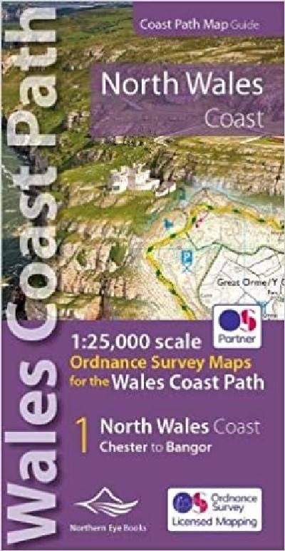
One of seven handy, lightweight, pocket sized map books covering the whole of the 870 mile/1400 kilometre Wales Coast Path. This volume covers North Wales from Chester to Bangor and includes enhanced large scale (1:25,000) Ordnance Survey mapping in a handy atlas format, with extracts from large scale Explorer maps 266, 265, 264 and OL17.
Description
Un o saith llyfr map hylaw, ysgafn, maint poced sy’n ganllaw gwerthfawr i 870 milltir/1400 cilomedr Llwybr Arfordir Cymru yn llawn. Mae’r gyfrol hon yn ganllaw i’r llwybr yng Ngogledd Cymru o Gaer i Fangor, ac mae’n cynnwys mapiau OS maint mawr (1:25,000) ar ffurf atlas hylaw, gyda detholiadau o fapiau Explorer maint mawr 266, 265, 264 ac OL17.One of seven handy, lightweight, pocket sized map books covering the whole of the 870 mile/1400 kilometre Wales Coast Path. This volume covers North Wales from Chester to Bangor and includes enhanced large scale (1:25,000) Ordnance Survey mapping in a handy atlas format, with extracts from large scale Explorer maps 266, 265, 264 and OL17.
Additional information
| Language | English |
|---|