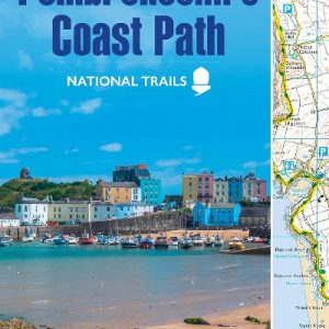
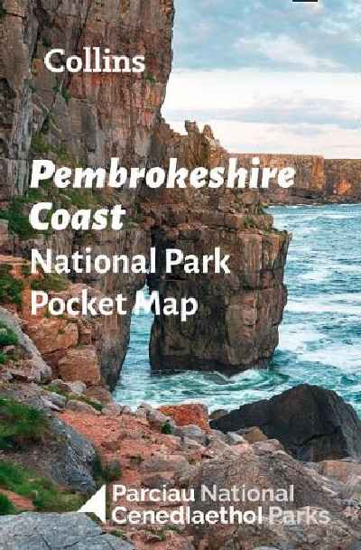
Description
Canllaw poced, graddfa 1:133,000 (2.1 milltir i’r fodfedd neu 1.33 cilomedr i un cilomedr) i Arfordir Sir Benfro. Dyma lyfryn perffaith i Barc Cenedlaethol Sir Benfro, yn cynnwys mapio clir, manwl a gwybodaeth allweddol am barcio a theithio ar gyfer ymwelwyr.This pocket guide is the perfect way to explore the beautiful Pembrokeshire Coast in West Wales. This small map gives a great overview of the Pembrokeshire Coast National Park. Clear, detailed mapping and key parking, tourist and travel information. Map at scale of 1:133,000 (2.1 miles to 1 inch or 1.33 km to 1cm).