Your cart is currently empty!
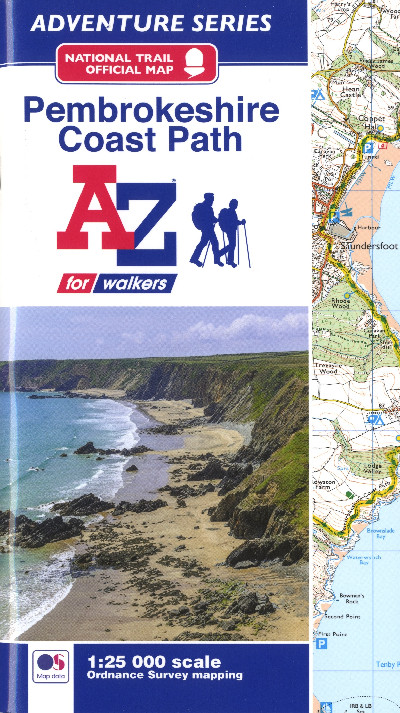
Pembrokeshire Coast Path A-Z
£8.95
The handy National Trail official map, 1:25 000 scale, of the Pembrokeshire Coast Path from St Dogmaels to Amroth. It comprises clear OS maps of the 174 mile long enchanting path, with details of footpaths, rights of way and public access land, together with a place names index. This is an ideal companion, whether walking the entire route or in sections.
Out of stock
Description
Map swyddogol hwylus y Llwybr Cenedlaethol, graddfa 1:25 000, ar hyd Llwybr Arfordir sir Benfro o Landudoch i Lanrhath. Cynhwysir mapiau OS eglur i’r llwybr hudolus 174 milltir, manylion am lwybrau cerdded, hawliau tramwy a thir cyhoeddus hygyrch, ynghyd â mynegai enwau lleoedd. Dyma ganllaw delfrydol ar gyfer crwydro’r llwybr, boed hynny ar ei hyd neu fesul rhan.The handy National Trail official map, 1:25 000 scale, of the Pembrokeshire Coast Path from St Dogmaels to Amroth. It comprises clear OS maps of the 174 mile long enchanting path, with details of footpaths, rights of way and public access land, together with a place names index. This is an ideal companion, whether walking the entire route or in sections.
Additional information
| Language | eng, wel |
|---|
Related products
-

2000 Plus Wales Map
£6.95 -
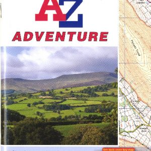
A-Z Adventure Series – Pembrokeshire Coast Path
£11.99 -
Brecon Beacons East A-Z Adventure Atlas
£7.95 -

Brilliant Maps
£14.99 -

Dinky Map Aberdyfi
£3.99