Your cart is currently empty!
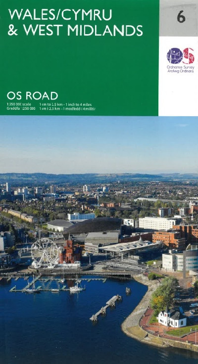
O. S. Road Map – Wales/Cymru & West Midlands
£7.99
A single sided folded map that provides 1: 250 000 coverage to enable the end user to navigate and plan road journeys. The map includes all motorways, primary routes and A roads, plus detailed tourist information, including National Parks, Country Parks and World Heritage sites and a useful town and city gazetteer.
Description
Map OS graddfa 1: 250 000 ar gyfer Cymru a Chanolbarth Lloegr, yn cynnwys manylion am draffyrdd, priffyrdd a ffyrdd dosbarth A, gwybodaeth fanwl i ymwelwyr, megis Parciau Cenedlaethol, Parciau Gwledig a safleoedd Treftadaeth Byd ynghyd â mynegai defnyddiol i drefi a dinasoedd.A single sided folded map that provides 1: 250 000 coverage to enable the end user to navigate and plan road journeys. The map includes all motorways, primary routes and A roads, plus detailed tourist information, including National Parks, Country Parks and World Heritage sites and a useful town and city gazetteer.
Additional information
| Language | English |
|---|
Related products
-

AA Road Map the West Country & South Wales
£5.99 -

O. S. Pathfinder Guide: 78. Anglesey, Lleyn and Snowdonia
£12.99 -

O.S Explorer 253 Lleyn Peninsula West/Pen Llyn Ardal Orllewinol
£12.99 -

O.S. Explorer 151 Cardiff & Bridgend/Caerdydd a Pen-y-Bont ar Ogwr
£12.99 -

O.S. Explorer 152 Newport & Pontypool/Casnewydd a Pont-y-Pwl
£12.99