Your cart is currently empty!
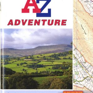
Brecon Beacons West A-Z Adventure Atlas
£7.95
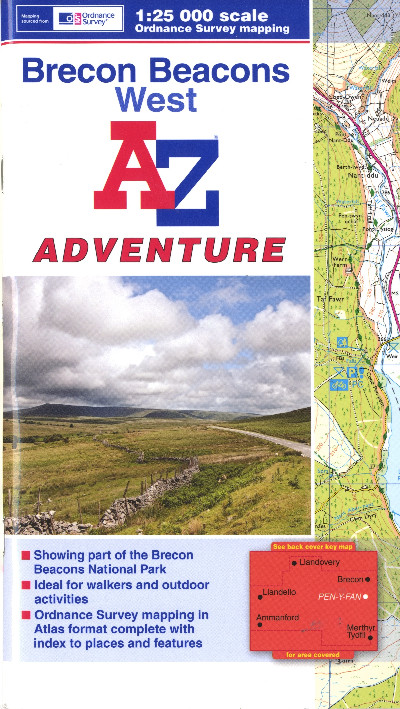
A 1:25 000 scale Ordnance Survey ‘Explorer’ map of the western region of the Brecon Beacons National Park, noting public footpaths, rights of way and open access lands and including an index of the main attractions. The ideal guide for walkers and outdoor activities.
Out of stock
Description
Map Ordnance Survey ‘Explorer’ graddfa 1:25 000 o ran orllewinol Parc Cenedlaethol Bannau Brycheiniog, yn nodi llwybrau cerdded cyhoeddus a thir agored ac yn cynnwys mynegai i’r prif atyniadau. Canllaw delfrydol ar gyfer cerddwyr a gweithgareddau awyr agored.A 1:25 000 scale Ordnance Survey ‘Explorer’ map of the western region of the Brecon Beacons National Park, noting public footpaths, rights of way and open access lands and including an index of the main attractions. The ideal guide for walkers and outdoor activities.
Additional information
| Language | eng, wel |
|---|