Your cart is currently empty!
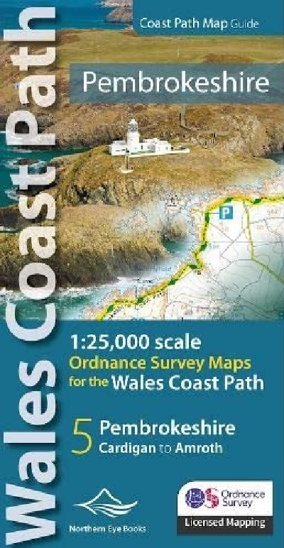
Pembrokeshire Coast Path Map
£9.99
A volume comprising OS mapping for the Wales Coast Path between Cardigan and Amroth. Contains extracts from large scale 1:25,000 Explorer maps 35 and 36. One of seven handy, lightweight, pocket size map books covering the whole of the 870-mile/1400 kilometre Wales Coast Path – from Chester to Chepstow. Each map book matches one of the seven sections covered by the Official Guidebooks..
Description
Cyfrol yn cynnwys map OS, graddfa 1:25,000 (a dynnwyd o fapiau Explorer 35 a 36) ar gyfer Llwybr Arfordir sir Benfro o Aberteifi i Amroth, a hynny mewn maint atlas hylaw. Nodir y prif drefi a phentrefi, ceir manylion am gyfleusterau a mwynderau, cyflwyniad gyda ffotograffau ynghyd â gwybodaeth ychwanegol. Un o saith map maint poced ar gyfer holl Lwybr Arfordir Cymru o Gaer i Gas-gwent.A volume comprising OS mapping for the Wales Coast Path between Cardigan and Amroth. Contains extracts from large scale 1:25,000 Explorer maps 35 and 36. One of seven handy, lightweight, pocket size map books covering the whole of the 870-mile/1400 kilometre Wales Coast Path – from Chester to Chepstow. Each map book matches one of the seven sections covered by the Official Guidebooks..
Additional information
| Language | English |
|---|