Your cart is currently empty!
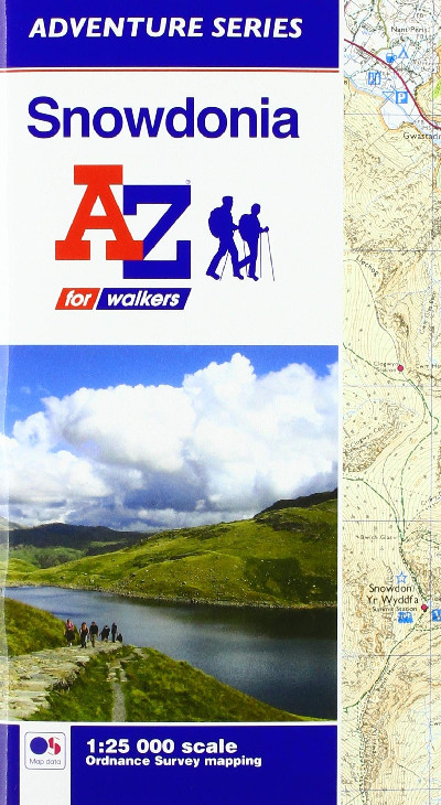
Snowdonia A-Z Adventure Atlas
£8.95
A 1:25,000 scale Ordnance Survey ‘Explorer’ map of the northern region of the Snowdonia National Park, denoting public rights of way and open access lands, camping and caravan sites, car parks, public houses and youth hostels, natural features and nature reserves.
Out of stock
Description
Map Ordnance Survey ‘Explorer’ graddfa 1:25,000 o ran ogleddol Parc Cenedlaethol Eryri yn dynodi llwybrau cyhoeddus a thir agored, gwersylloedd pebyll a charafanau, meysydd parcio, tafarnau a hosteli ieuenctid, nodweddion naturiol a gwarchodfeydd natur.A 1:25,000 scale Ordnance Survey ‘Explorer’ map of the northern region of the Snowdonia National Park, denoting public rights of way and open access lands, camping and caravan sites, car parks, public houses and youth hostels, natural features and nature reserves.
Additional information
| Language | English |
|---|