Your cart is currently empty!
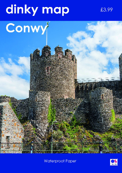
Dinky Map: Conwy (Waterproof)
£3.99
This handy sized map uses Ordnance Survey 1:25,000 mapping with all the usual features including public access areas, footpaths and rights of way. Printed on waterproof paper.
Description
Mae’r map hylaw hwn yn defnyddio mapiau OS 1:25,000 sy’n cynnwys manylion megis ardaloedd mynediad cyhoeddus, llwybrau a hawliau tramwy. Argraffwyd ar bapur gwrth-ddŵr.This handy sized map uses Ordnance Survey 1:25,000 mapping with all the usual features including public access areas, footpaths and rights of way. Printed on waterproof paper.
Additional information
| Language | English |
|---|
Related products
-
2000 Plus Wales Map
£6.95 -

Brilliant Maps
£14.99 -

Dinky Map Aberdyfi
£3.99 -

Dinky Map Beddgelert
£3.99 -
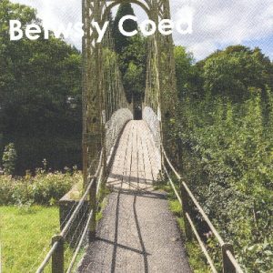
Dinky Map Betws-y-Coed
£3.99