Your cart is currently empty!
2000 Plus Wales Map
2000 Plus Wales is a comprehensive, full-colour map of all Welsh summits over 2,000ft, based on information from The Mountains of England and Wales – Volume 1 Wales by John and Anne Nuttall – an invaluable tool for outdoor enthusiasts to plan their next ascent and track their progress.
Description
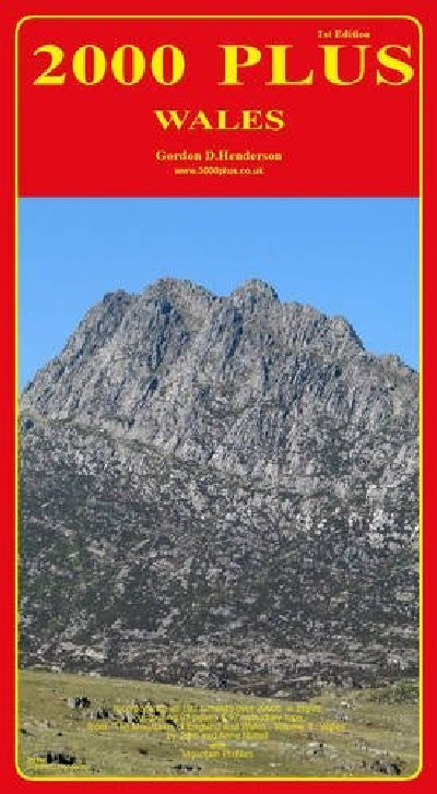
Map cynhwysfawr, lliw llawn o holl gopaon Cymru dros 2,000 o droedfeddi, wedi’i seilio ar fanylion yn The Mountains of England and Wales – Volume 1 Wales gan John ac Anne Nuttall. Dyma gyfrol amhrisiadwy ar gyfer y dringwr er mwyn cynllunio a dilyn trywydd taith.2000 Plus Wales is a comprehensive, full-colour map of all Welsh summits over 2,000ft, based on information from The Mountains of England and Wales – Volume 1 Wales by John and Anne Nuttall – an invaluable tool for outdoor enthusiasts to plan their next ascent and track their progress.
Additional information
| Language | English |
|---|
Related products
-
Brilliant Maps
£14.99 -
CBAC Tystysgrif a Diploma Cymhwysol Lefel 3 Troseddeg
£29.50 -
Dinky Map Aberdyfi
£3.99 -
Dinky Map Beddgelert
£3.99 -
Dinky Map Betws-y-Coed
£3.99


