Your cart is currently empty!
O.S. Explorer 152 Newport & Pontypool/Casnewydd a Pont-y-Pwl
£12.99
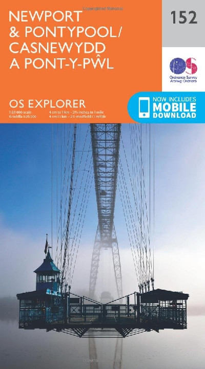
A 1:25 000 (4cm i 1km) scale, bilingual OS ‘Explorer’ Map for the Newport and Pontypool areas. This is an ideal leisure map for outdoor activities, providing details about rights of way, accomodation and other relevant tourist information including a mobile download.
Description
Map Ordnance Survey ‘Explorer’ dwyieithog, graddfa 1:25 000 (4cm i 1km) ar gyfer ardaloedd Casnewydd a Phont-y-Pŵl. Dyma fap hamdden delfrydol ar gyfer gweithgareddau awyr agored, yn darparu manylion am hawliau tramwy, cyfleusterau llety a gwybodaeth berthnasol arall i ymwelwyr ynghyd â lawrlwythiad ffôn symudol.A 1:25 000 (4cm i 1km) scale, bilingual OS ‘Explorer’ Map for the Newport and Pontypool areas. This is an ideal leisure map for outdoor activities, providing details about rights of way, accomodation and other relevant tourist information including a mobile download.
Additional information
| Language | eng, wel |
|---|
Related products
-

Brilliant Maps
£14.99 -

Dinky Map Aberdyfi
£3.99 -

Dinky Map Beddgelert
£3.99 -

Dinky Map Betws-y-Coed
£3.99 -

Dinky Map Cadair Idris
£3.99