

Description
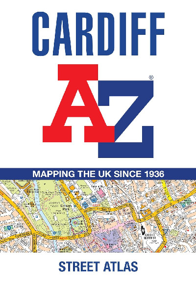
Wedi’i argraffu mewn fformat clawr meddal lliw llawn, mae’r atlas hwn yn cynnwys 107 tudalen o fapio strydoedd parhaus. Mae’r prif fapio yn cwmpasu Caerdydd a Chasnewydd ar raddfa o 4 modfedd i 1 filltir, yn cynnwys ardaloedd cod post, strydoedd unffordd, safleoedd parcio a theithio, a lleoliadau camerâu diogelwch.Printed in full-colour, paperback format, this atlas contains 107 pages of continuous street mapping. The main mapping covers Cardiff and Newport at a scale of 4 inches to 1 mile, featuring postcode districts, one-way streets, park and ride sites, and safety camera locations.