Your cart is currently empty!
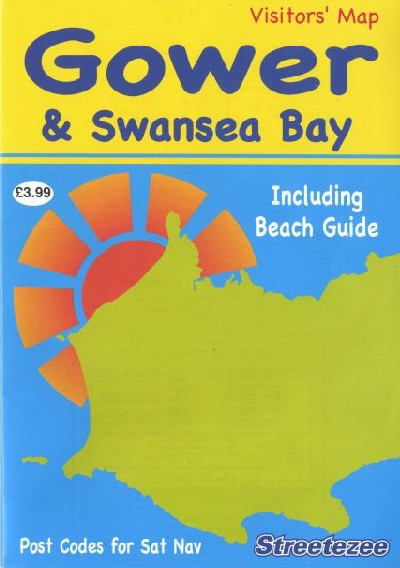
Gower and Swansea Bay Visitors’ Map
£3.99
A clear, colour visitors’ map to the beaches and villages of the Gower Peninsula and central Swansea, all on a 222x160mm handy leaflet that opens to reveal a large map. It includes information about museums, gardens and other interesting locations, water and sports attractions, and eating, travel and emergency details.
Out of stock
Description
Map lliw clir ar gyfer ymwelwyr i draethau a phentrefi Penrhyn Gŵyr a chanol dinas Abertawe, oll ar daflen hwylus maint 222x160mm sy’n agor i ddatgelu map mawr. Cynhwysir gwybodaeth am amgueddfeydd, gerddi a lleoliadau diddorol eraill i ymweld â hwy, atyniadau dŵr a chwaraeon, a manylion am lefydd bwyta, trafnidiaeth a gwasanaethau brys.A clear, colour visitors’ map to the beaches and villages of the Gower Peninsula and central Swansea, all on a 222x160mm handy leaflet that opens to reveal a large map. It includes information about museums, gardens and other interesting locations, water and sports attractions, and eating, travel and emergency details.
Additional information
| Language | English |
|---|