Your cart is currently empty!
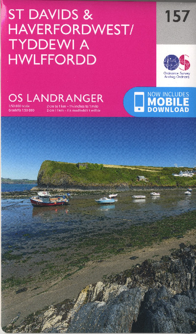
O.S. Landranger 157 St Davids and Haverfordwest/Tyddewi a Hwlffordd
£12.99
A map of the St David’s and Haverfordwest area which shows tourist information, camping and caravan sites, picnic areas and viewpoints, selected places of interest and Rights of Way. 1:50 000 scale. Now includes mobile download.
Description
Map o ardal Tyddewi a Hwlffordd sy’n dangos gwybodaeth ar gyfer twristiaid, safleoedd gwersylla a charafannau, mannau picnic, llefydd o ddiddordeb a ffyrdd hawl tramwyo cyhoeddus. Graddfa 1:50 000. Nawr â fersiwn digidol i’w lawrlwytho i’ch ffôn.A map of the St David’s and Haverfordwest area which shows tourist information, camping and caravan sites, picnic areas and viewpoints, selected places of interest and Rights of Way. 1:50 000 scale. Now includes mobile download.
Additional information
| Language | eng, wel |
|---|
Related products
-
2000 Plus Wales Map
£6.95 -

Brilliant Maps
£14.99 -

Dinky Map Aberdyfi
£3.99 -

Dinky Map Beddgelert
£3.99 -

Dinky Map Betws-y-Coed
£3.99