

Description
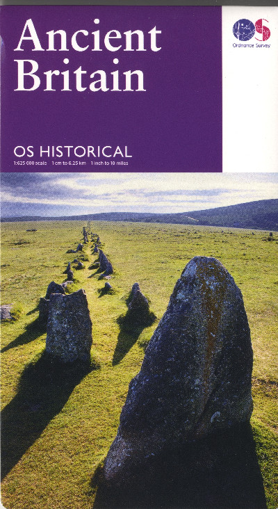
Map O.S. dwy-ochrog o Brydain Hanesyddol. Nodir pob cyfnod gan symbolau a lliwiau gwahanol sy’n dangos safleoedd o gyfnodau Oes y Cerrig i’r Oesoedd Canol mewn perthynas â’r safleoedd cyfoes. Ceir manylion ychwanegol megis termau archaeolegol.A double-sided O.S. historical map of Ancient Britain. Each period is identified using different symbols and colours to show sites from the Stone Age through to the early Middle Ages against a modern map base. Additional information, such as a list of archaeological terms is also included.